
Canada. Thirteen provinces and territories. Two official languages. More coastline than any country on earth. And running through all of it, a history, a geography, and a people that add up to something unmistakably Canadian.
The exploration starts here. Click a province or territory on the map.
Loading map…
Map boundaries are approximate. Adapted from Statistics Canada data, used under the Statistics Canada Open Licence.
Yukon•Northwest Territories•Nunavut•British Columbia•Alberta•Saskatchewan•Manitoba•Ontario•Québec•New Brunswick•Nova Scotia•Prince Edward Island•Newfoundland and Labrador
At a Glance
Population
41,539,860
Highest point
Mount Logan, Yukon — 5,959 m (19,551 ft)
Land area
9,984,670 km² (includes 891,163 km² of freshwater)
National animal
Beaver
Coastline
202,080 km
National sports
Lacrosse (summer) · Ice hockey (winter)
Capital
Ottawa, Ontario
Government
Federal parliamentary democracy and constitutional monarchy
Currency
Canadian dollar (CAD)
Head of state
King Charles III, represented by a Governor General
Time zones
Six, from Newfoundland Time (UTC−2:30) to Pacific Time (UTC−7)
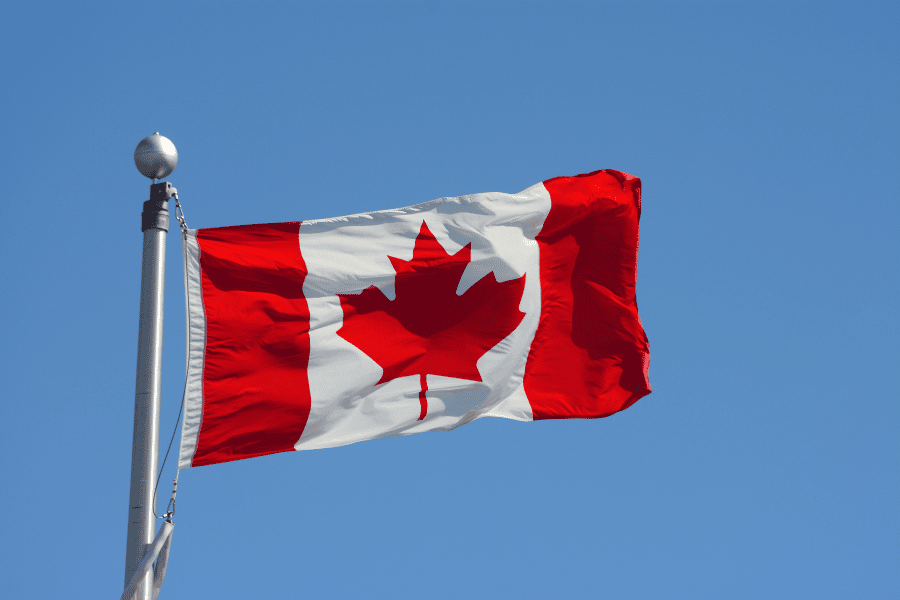
- The Canadian flag flew for the first time on February 15, 1965
- The Canadian flag is twice as long as it is wide. The central white square and maple leaf take up exactly half the flag’s surface, with the two red bars accounting for the other half
- In 1982, Canadian mountaineer Laurie Skreslet carried the flag to the summit of Mount Everest.
- Two years later, it went even further. When Marc Garneau became the first Canadian astronaut to reach space aboard the NASA shuttle Challenger in 1984, the flag went with him.
- When the national flag flies alongside provincial and territorial flags, the order follows each province and territory’s entry into Confederation.